Distance: 15.373km, Estimated duration: 4.98h, Elevation up: 321.34269095715484m, Elevation down: 316.1324128602864m
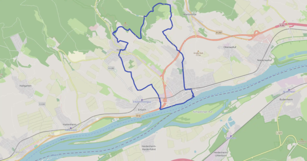
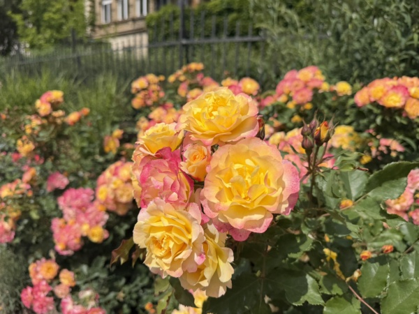
Eltville Rosengartentour ohne besondere Vorkommnisse
June 14, 2026
by @jornfranke@trails.tchncs.de
Eltville, Hessen, Deutschland
Moderate
Completed
Distance 15.34 km
Est. duration 04h 59m
Elevation Gain 355 m
Elevation Loss 354 m
Category Hiking
Description
Route
Start
44 m
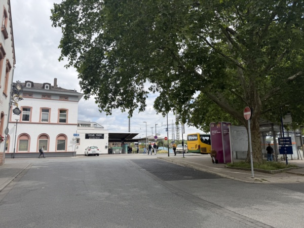
50.02709, 8.12179
175 m
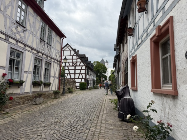
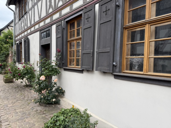
50.02605, 8.12235
672 m


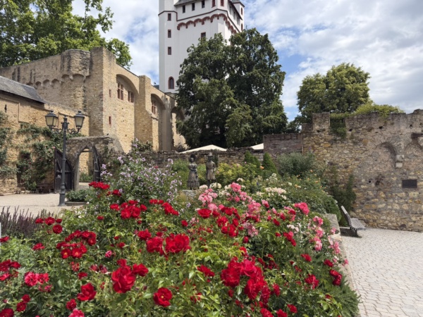
50.02478, 8.12244
780 m
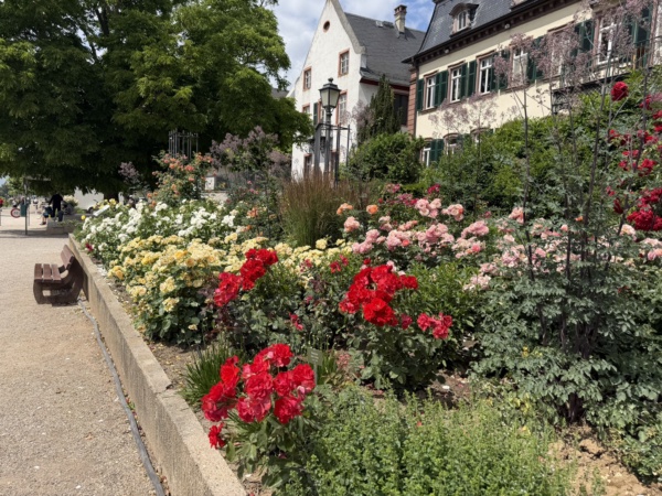
50.02416, 8.12164
1.14 km
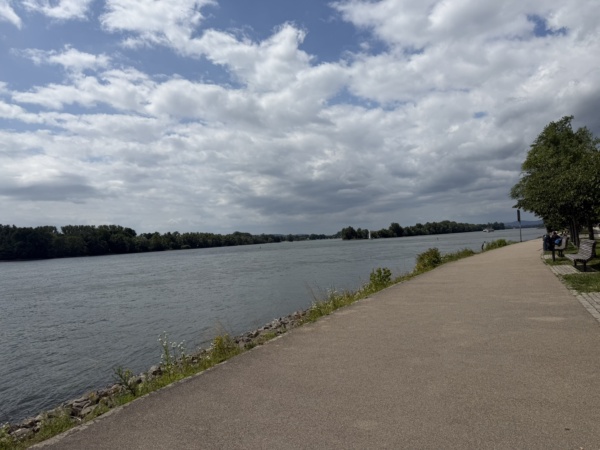
50.02251, 8.11748
2.36 km
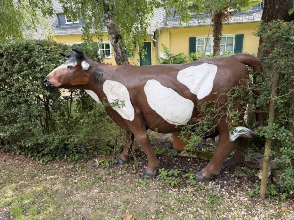
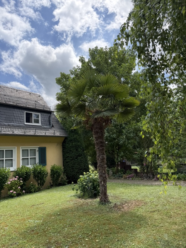
50.02163, 8.10528
2.69 km

50.02428, 8.10434
2.84 km
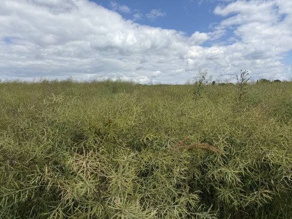
50.02554, 8.10376
3.31 km
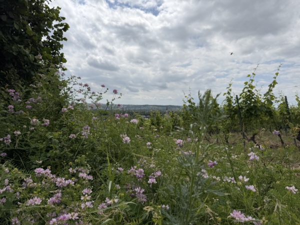
50.02896, 8.10011
3.60 km
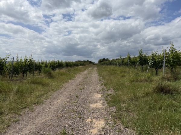
50.02781, 8.09675
4.45 km
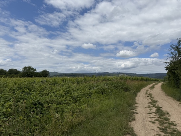
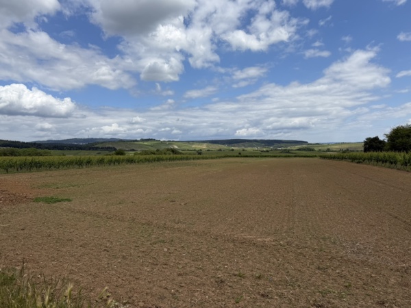
50.03148, 8.08976
5.79 km
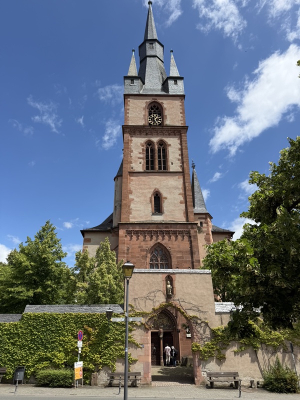
50.04102, 8.08400
6.24 km
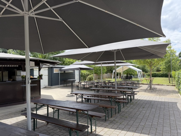
50.04308, 8.08753
6.93 km
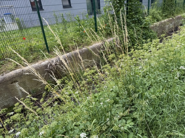
50.04548, 8.08100
7.30 km
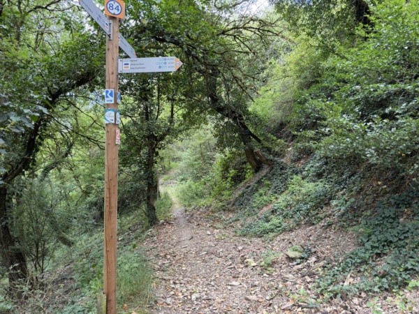
50.04745, 8.08086
7.34 km
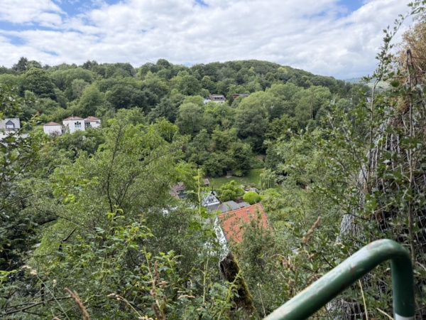
50.04716, 8.08079
7.49 km
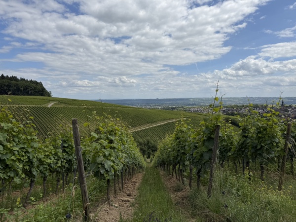
50.04809, 8.08192
8.12 km
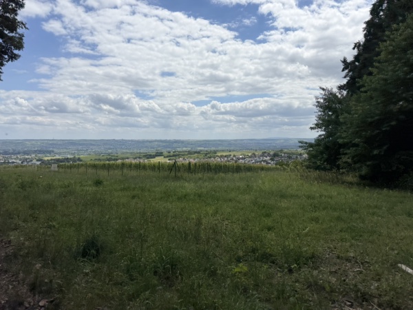
50.04803, 8.08874
10.28 km
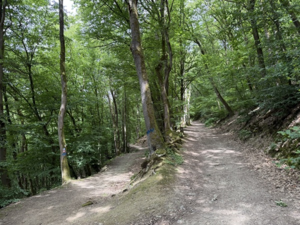
50.05631, 8.10213
10.99 km
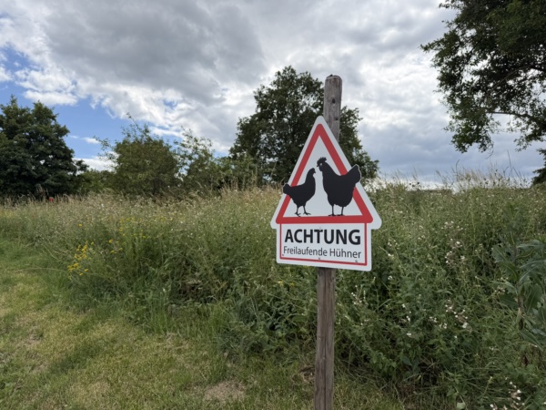
50.05576, 8.11040
11.18 km
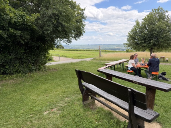
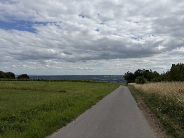
50.05416, 8.11060
11.94 km
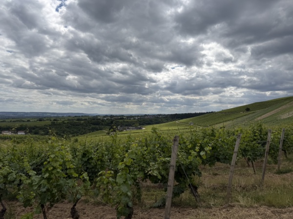
50.04817, 8.11006
12.37 km
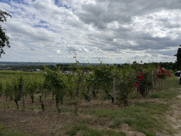
50.04624, 8.10712
13.33 km
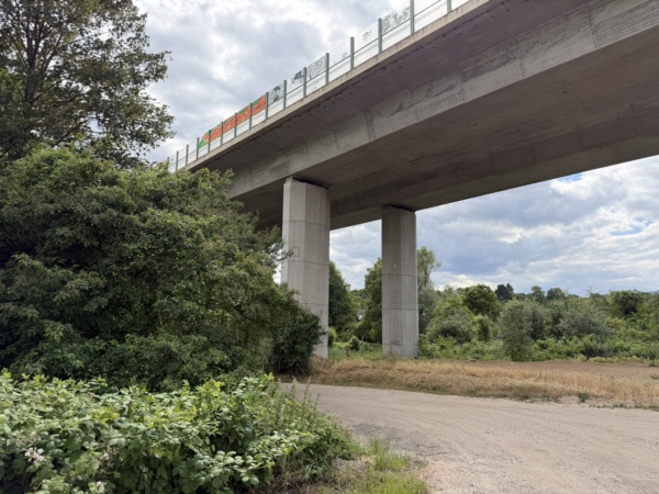
50.04010, 8.11557
14.43 km
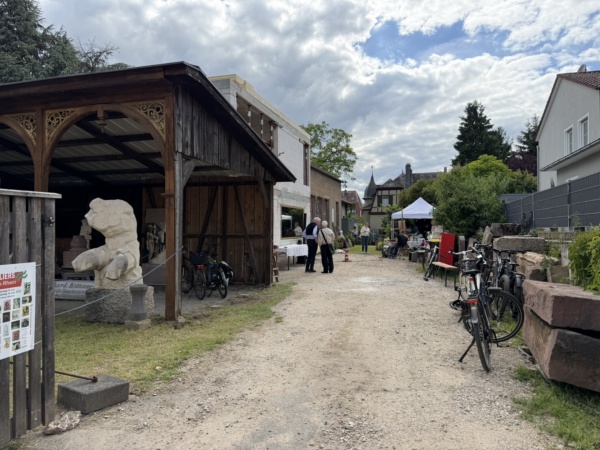
50.03095, 8.11758
15.35 km
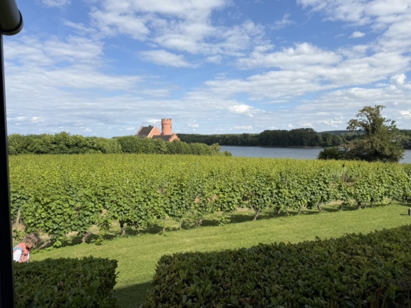
50.02565, 8.12301
15.34 km
Finish