
Schierstein
October 21, 2018
by @jornfranke@trails.tchncs.de
Wiesbaden, Hessen, Deutschland
Difficult
Completed
Distance 16.27 km
Est. duration 07h 09m
Elevation Gain 324 m
Elevation Loss 324 m
Category Hiking
Description

No description for now...
Route
Start
829 m
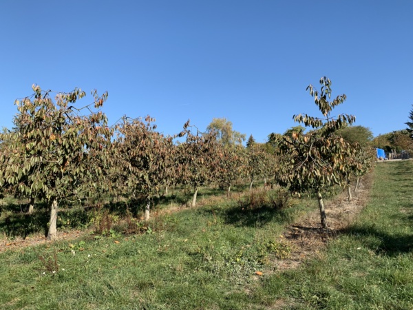
50.05091, 8.18790
1.33 km
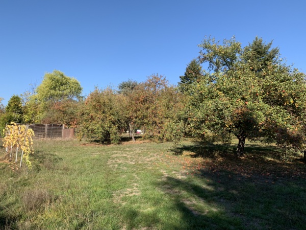
50.05363, 8.18316
1.66 km

50.05447, 8.17990
1.69 km
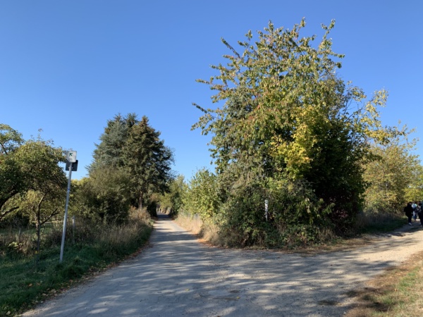
50.05461, 8.17972
2.01 km

50.05735, 8.17824
2.29 km

50.05914, 8.17602
2.71 km
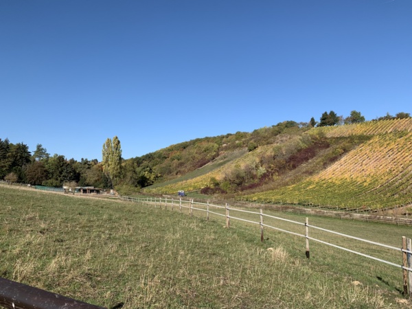
50.06188, 8.17345
3.56 km

50.06268, 8.16481
3.62 km

50.06222, 8.16472
3.73 km

50.06171, 8.16363
3.76 km

50.06158, 8.16340
3.77 km

50.06151, 8.16320
3.98 km

50.06131, 8.16322
3.98 km

50.06131, 8.16320
3.99 km

50.06128, 8.16301
4.02 km
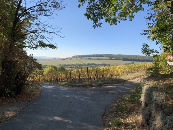
50.06150, 8.16264
4.32 km

50.06242, 8.16107
4.39 km

50.06251, 8.16003
4.39 km
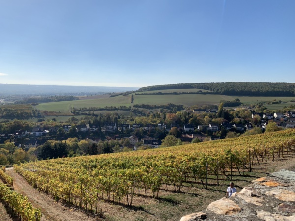
50.06251, 8.16000
4.39 km

50.06252, 8.16001
4.54 km
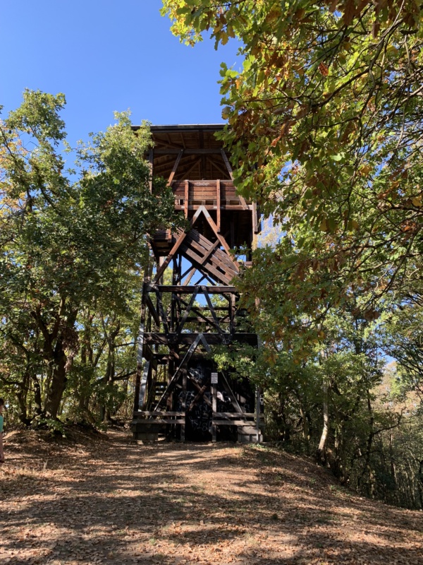
50.06319, 8.15839
4.55 km
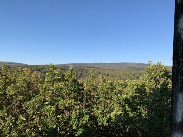
50.06328, 8.15819
4.55 km
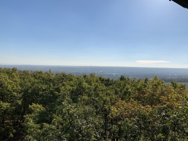
50.06329, 8.15820
4.57 km
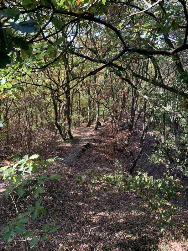
50.06331, 8.15809
5.74 km
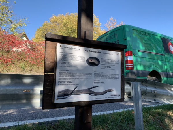
50.06059, 8.15369
5.93 km

50.06160, 8.15151
6.07 km
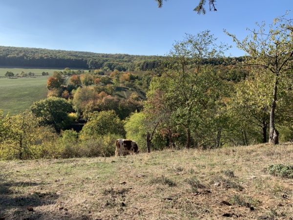
50.06270, 8.15043
8.38 km
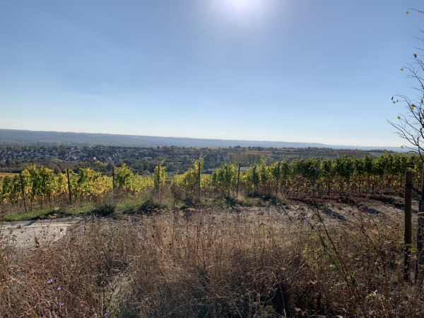
50.05034, 8.14259
12.39 km
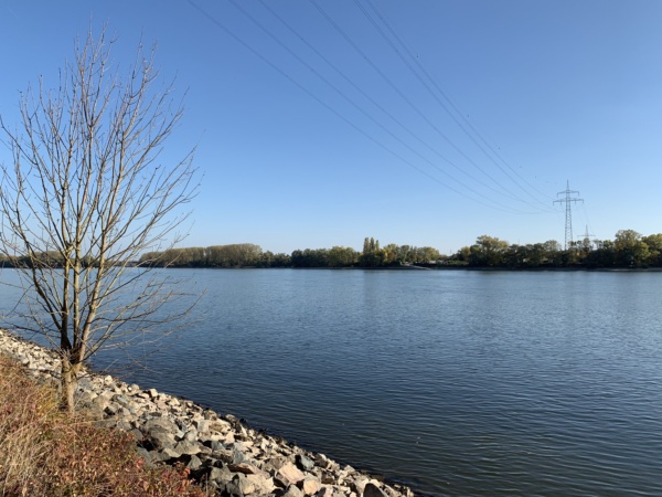
50.03769, 8.18376
12.50 km

50.03780, 8.18512
12.79 km
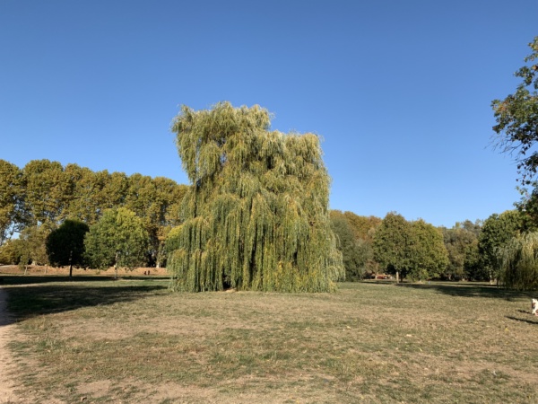
50.03815, 8.18914
13.27 km

50.03985, 8.19467
13.35 km
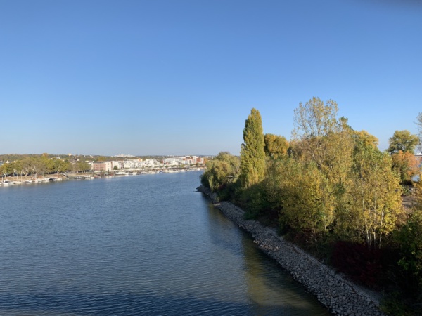
50.03918, 8.19539
13.35 km
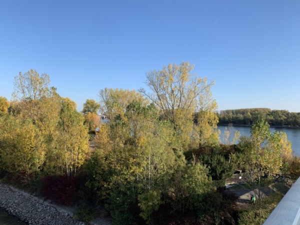
50.03918, 8.19539
14.56 km
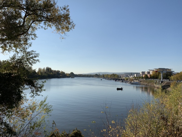
50.04114, 8.20952
15.51 km

50.04220, 8.19714
15.70 km

50.04382, 8.19648
16.27 km
Finish