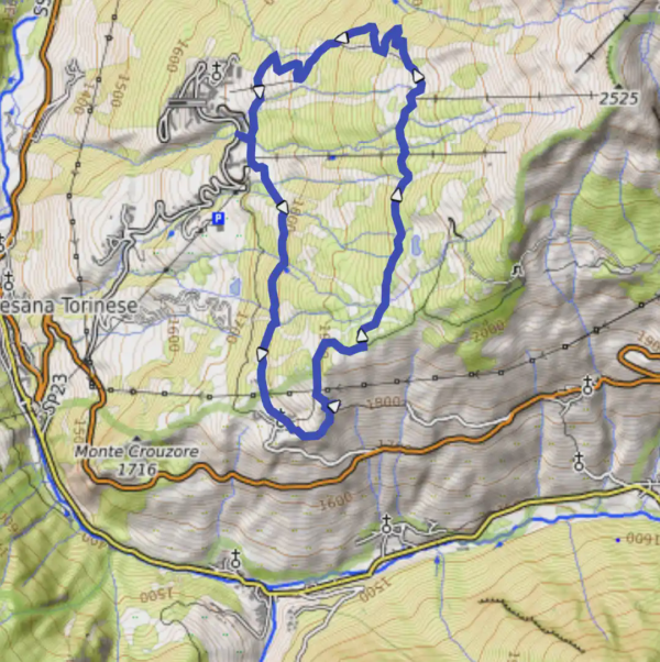
San Sicario Alto - giro ad anello
August 14, 2021
by @claudiob@wanderer.devol.it
San Sicario, Piemonte, Italia
Easy
Completed
Distance 9.74 km
Est. duration 00h 00m
Elevation Gain 411 m
Elevation Loss 415 m
Category Hiking / Family
Description

No description for now...
Route
Start
2.60 km
Destinazione
44.94493, 6.82185Destinazione
3.08 km
Vicino Strada Statale 23 del Colle di Sestriere, Champlas du Col
44.94544, 6.82640Vicino Strada Statale 23 del Colle di Sestriere, Champlas du Col
4.19 km
Destinazione
44.94974, 6.82719Destinazione
4.37 km
Destinazione
44.95053, 6.82974Destinazione
6.56 km
Destinazione
44.96801, 6.83440Destinazione
9.76 km
44.96529, 6.81745
9.74 km
Finish